
SAN DIEGO — Long overdue changes to governmental fire maps showing the threat of fire in communities across the state are expected to trigger stricter building codes and other requirements aimed at reducing wildfire risk in more of the San Diego region.
The new maps, expected to start rolling out in early 2022, could change the shape of local development, particularly in foothills that were not previously categorized as under high threat of wildfire but that have occasionally experienced flames driven west from the backcountry by Santa Ana winds.
The maps, which are supposed to be updated every five years, were last developed in 2007. Since then, California wildfires made worse by climate change have broken records in size, destructiveness and deadliness.
Lori Holt Pfeiler, the president and CEO of the Building Industry Association of San Diego County, said the changes to the maps could make it harder to meet local housing goals and make building homes more expensive if the higher cost of meeting the standards isn’t offset by allowing larger scale developments in the hundreds of homes at a time as opposed to 50 or fewer. Environmentalists often challenge large-scale housing projects in parts of San Diego County that are undeveloped, and some projects have been stopped because of concerns around fire hazard.
Cal Fire’s maps of fire hazard severity zones show regions at very high, high or moderate fire hazard. The underlying model was last updated in 2007.
“I'd much rather have a brand new home that is built to the new standards than live in a home that's in a fire safe area that was built 30 years ago,” Holt Pfeiler said.
Holt Pfeiler said the California building industry is very engaged in the rollout of the new maps and she expects to be working closely with local jurisdictions as they adopt their versions and try to understand the impact those updated maps could have on the cost of housing.
Donald Butz, the Lakeside fire chief, said changes to the maps could increase building costs but said they will be worth it.
“We all know we can't get away from disasters, but what we can do is increase our resiliency,” Butz said. “If we're able to do better mapping and to identify those areas which could be potentially impacted, we increase the survivability (of homes and other buildings).”
“We not only save property,” he said. “We also save lives.”
The current model, developed in 2007 by Cal Fire, categorizes areas as having moderate, high or very high threat of fire based on local topography and vegetation. Local jurisdictions then adopted the map, some with changes. The city of San Diego chose a “worse case scenario” because of wildfires that had occurred in the city, according to Mónica Muñoz, a spokesperson for the city’s Fire-Rescue Department.
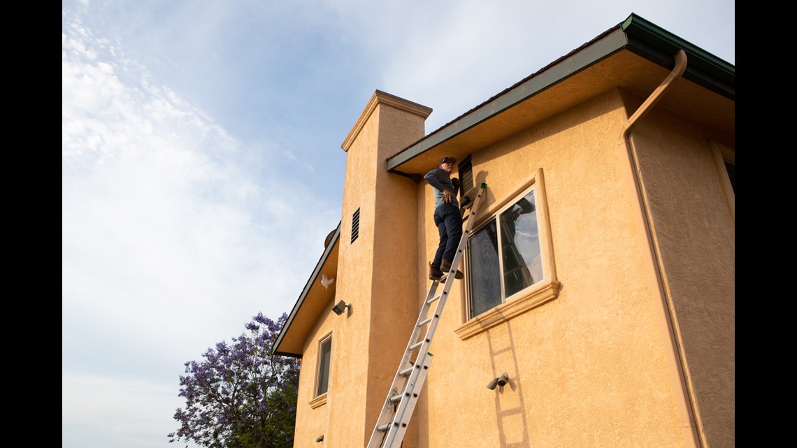
Depending on the category, builders and residents must take certain steps to reduce the risk of destruction by wildfire, including building with noncombustible materials and ember-resistant vents and clearing vegetation around the home. Following a new 2019 state law, home sellers must also disclose the local wildfire risk to new buyers.

Government officials cautioned that the categories do not set insurance rates on their own, but can correlate with higher rates or difficulty finding coverage because insurance companies use some of the same underlying science. A recent inewsource analysis found that insurers are increasingly dropping homeowner policies in most ZIP codes in San Diego County, especially those in higher fire risk areas.
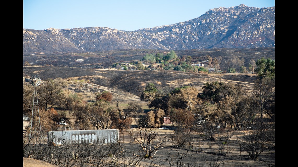
In the San Diego region, much of the rural inland area is currently categorized as being in high or very high fire hazard zones including Jamul, Alpine, Boulevard, Ramona and Valley Center. Parts of cities including Escondido, Poway and San Diego are also in the red. Almost 78,000 homes are in high-to-extreme fire hazard areas, according to a 2018 county report.
But wildfires have increasingly burned outside of the categories on the maps because of high winds made stronger by climate change, said Daniel Berlant, who oversees the wildfire planning and engineering division at Cal Fire.
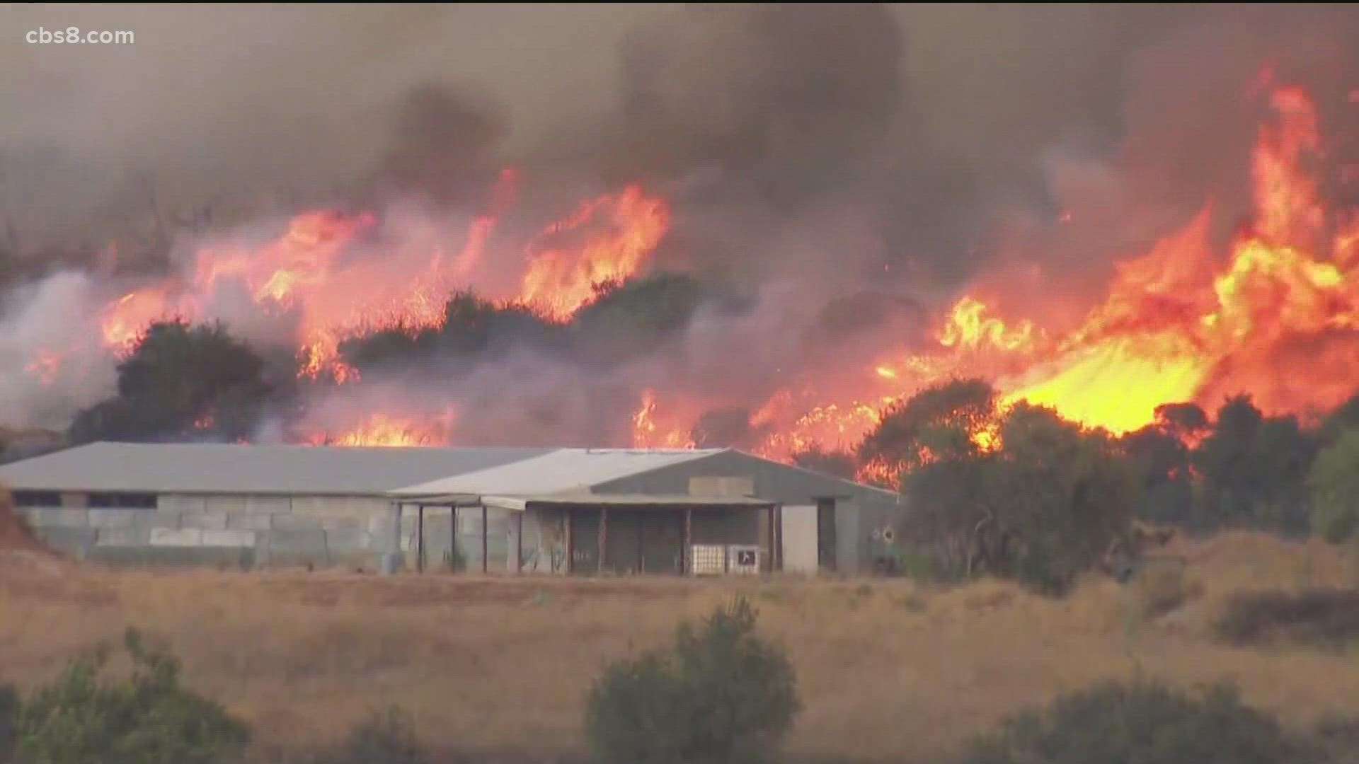
The Cedar Fire of 2003, for example, burned from a region of East County categorized at very high fire hazard into areas of the city of San Diego that were not categorized as being high fire hazard areas. Santa Ana winds drove the flames west, killing 15 people and destroying 2,820 structures.
Wind-driven wildfires have caused increasing destruction statewide, which is why the new model Berlant’s team is developing will incorporate the latest science on how winds can fan fires locally.
Berlant and Butz both said that will likely mean that the San Diego region will see an increase in areas categorized as at some fire hazard, though they cautioned they couldn’t yet provide details because the maps haven’t been finalized.
“It’s already affecting people,” said Berlant about wind-driven wildfires. “What will change though, once we are able to accurately map and start to predict and provide more updated hazard levels, is the ability for us to prepare our communities in a better fashion.”
The update to the map has been a long time coming. One state code requires Cal Fire to update the maps every five years; another requires them to be updated periodically. Cal Fire’s website states the update would be released in late 2020 or 2021.
Berlant acknowledged the agency is behind its own timeline. He attributed the delay to the novelty of the science on fire weather and the desire for accuracy.
Another upcoming change to the maps used by local jurisdictions such as cities will likely lump more people into wildfire hazard zones, Berlant said. Following a new state law going into effect in January, those maps will be required to have three wildfire hazard zones, adding “moderate” and “high” wildfire hazard zones to the current “very high” wildfire hazard designation.
In the past, some local jurisdictions have pushed back against the maps. Fifteen cities statewide declined to adopt the previous version after they were released in 2007, according to Rebecca Miller, a postdoctoral scholar at the University of California who published research on those decisions.
Government representatives told Miller they were concerned about building requirements, lowered property values, the availability of affordable insurance and the lack of funding to implement new requirements associated with high fire hazard zones.

Miller said she thought it would be wonderful if the maps were updated continuously to provide the public the best information about the wildfire hazard in their neighborhood and a starting point to reduce the risk of damage from embers.
“I've talked to a lot of people who told me things like ‘I never thought a fire would happen until it did,’ ” Miller said. “Fire is not always at the front of everyone's mind.”
inewsource is a nonprofit, independently funded newsroom that produces impactful investigative and accountability journalism in San Diego County. Learn more at inewsource.org.