
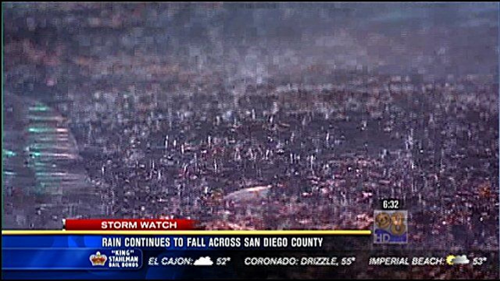
SAN DIEGO (CNS) - A winter-like early spring storm delivered cold cloudbursts and mountain snow flurries to the San Diego area Monday.
The blustery rains, which began Sunday evening and continued overnight, made for a dicey morning commute, likely contributing to a number of crashes, including one that killed a motorcyclist on Interstate 805 in Clairemont Mesa shortly before 6 a.m., according to the California Highway Patrol.
Between midnight and 11 a.m., the CHP logged 54 crashes of on local freeways and back-country routes. By comparison, the state agency generally responds to 50-75 accidents over an entire dry day.
By midmorning, snow had fallen in East County locales as low as 3,500 to 4,000 feet, according to the National Weather Service. A winter-weather advisory for mountain communities was scheduled to remain in effect through early evening.
Over a 24-hour period ending at 11 a.m., according to the NWS, the storm dropped 1.74 inches of precipitation at Lake Henshaw; 1.69 inches at Cuyamaca Reservoir; 1.64 in Julian and Santa Ysabel; 1.58 in Escondido; 1.46 in La Mesa; 1.44 at McClellan-Palomar Airport in Carlsbad; 1.43 at Wohlford Dam; 1.38 at Rincon Springs; 1.34 in Encinitas; 1.32 in Bonsall; 1.29 at Descanso Ranger Station; 1.13 in Oceanside; 1.1 in eastern El Cajon; 1.03 in Mission Valley; and 0.92 at Lindbergh Field in San Diego.
Scattered showers and isolated thunderstorms will continue through the day, mostly over and just west of the East County highlands, the NWS predicted.
The storm is expected to peter out Monday evening, according to the agency.