
CORONADO, Calif. — GPS apps are supposed to help drivers get around but Coronado residents say the technology may be leading drivers astray. Locals are saying there has been an uptick in accidents on residential streets and they believe GPS systems are to blame.
“Here we are in the situation of technology that we are sending people into danger by these apps,” said Coronado resident, David MacDonald.
MacDonald has documented the danger of drivers darting onto State Route 75 and the dramatic increase of traffic outside his home on A Street since the 1990’s.
According to MacDonald, it’s largely due to GPS apps. “I estimate that anywhere from five to 10,000 cars come down to turn down my street. If you Google that or follow your GPS, it will send you down A Avenue as opposed to sending you down to the safety of the light at Orange Avenue.”
MacDonald has captured collisions on camera. For example, he captured a moment in 1995, when a car landed in his lawn. Recently, he captured T-bone accidents that sent cars crashing into a 4th Avenue fence.
The streets notorious for wrecks, as recorded in a Caltrans letter to the Coronado City Manager in 1998, says A, B and C Street intersections at 4th Avenue have accident rates 25-percent higher than the statewide average.
The highest is on A Street.
“Neighborhoods that had relatively no traffic, now are inundated with traffic,” said MacDonald.
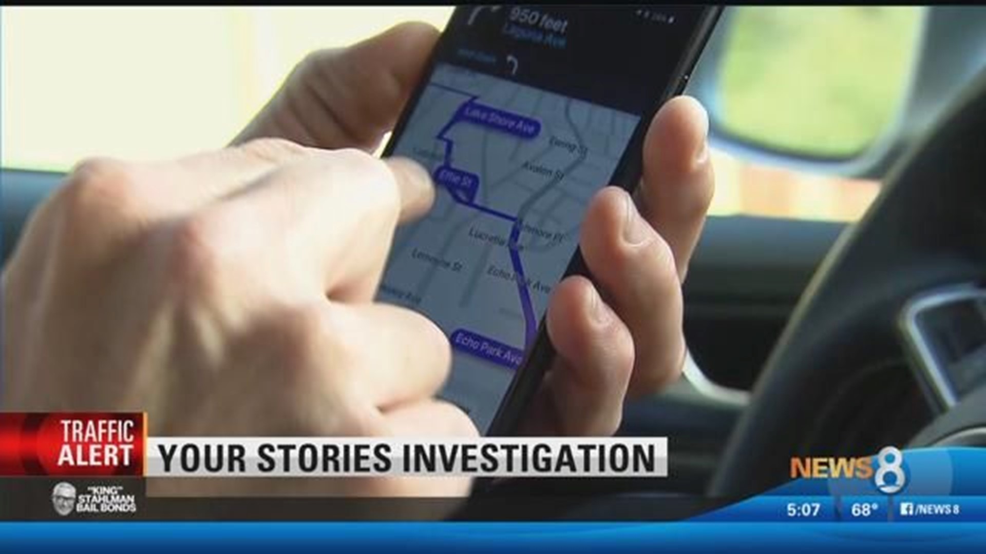
MacDonald said he saw a similarly unsafe situation from a CBS News story in Los Angeles. According to that story, on Baxter Street, residents reported GPS apps like Waze were directing drivers onto a dangerously steep small neighborhood street causing multiple accidents.
In Coronado, using an Apple GPS drivers heading to the historic Hotel Del Coronado are taken down the residential B Avenue.
For Google Maps users heading to the Hotel Del were routed to their destination via A Street.
MacDonald said he reported the problem to Google Maps, Waze and Apple – nothing has happened.
Road barriers were once placed on A Street in 2002, but that was short-lived.