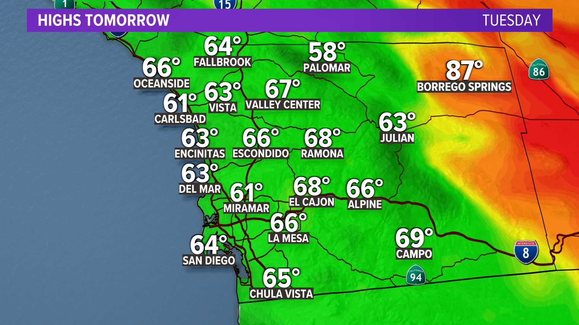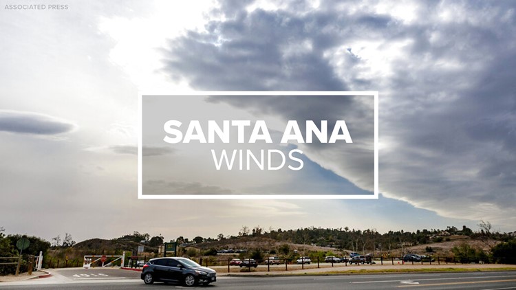
SAN DIEGO — A spell of blustery Santa Ana winds coupled with a significant warming trend will heighten San Diego-area wildfire hazards through Friday, according to the San Diego National Weather Service.
The strongest winds are expected along and near local coastal slopes of the region's mountains and below passes and canyons, with the strongest gusts reaching speeds of about 45 mph, according to the Weather Service.
Over the period, temperatures west of the mountains will be 10 to 20 degrees above normal through Saturday.
Atmospheric humidity in inland areas will fall to 15% to 20% on Thursday and Friday, and to 10% to 15% on Saturday, forecasters said.
Santa Ana winds will start to weaken on Friday afternoon into Saturday morning, but our peak heat will still be toasty for Fall and we will remain dry.
By the second half of the weekend, temperatures will slip as another trough of low pressure moves over the west. Despite the dip, we will remain warmer than usual by 5° to 10°. Temps will continue to drop into the start of next week with a deepening of the marine layer courtesy of another trough of low pressure.
By Wednesday afternoon, we saw high pressure that started to build in over the region. An upper-level ridge will strengthen and keep our temperatures peaking above seasonal through Sunday.
RELATED: Dreary start to Wednesday before Santa Ana winds return by the afternoon through the weekend
Watch Related: Much of California missing the mark in water-conservation efforts during drought (Sept 2021)