
SAN DIEGO — SANDAG's new tool aimed at improving street safety across the county is getting a lot of attention from San Diego County residents.
The new tool is part of the agency's plan to eliminate traffic fatalities and injuries. This new online tool lets residents report streets or intersections that they feel are unsafe. It also allows them to explain why. The tool is proving to be successful with over 600 submissions so far. San Diegans say they want to see changes to dangerous intersections and roads.
“Crossing this over here is extremely dangerous. There doesn’t seem to be a lot of visibility and there’s two high traffic areas and a whole lot of pedestrians because of the apartment buildings," said San Diego resident Kim McAden.
SANDAG is working to improve these areas with a new online mapping tool.
“We don’t want people being injured on our roadways or dying on our roadways," said Antoinette Meier, Senior Director of Regional Planning at SANDAG.
The agency is calling on all San Diego County residents to identify high-risk locations, including intersections, bike lanes and pedestrian walkways. People can identify these areas by using the mapping tool, which allows you to pick the location, write a comment and even submit a picture.
“That plan hopes to identify some of the most dangerous areas in the region so that we can develop solutions that can be implanted quickly," added Meier.
Meier says the active transportation plan hasn’t been updated since 2010, which is why the agency is in the process of making necessary changes.
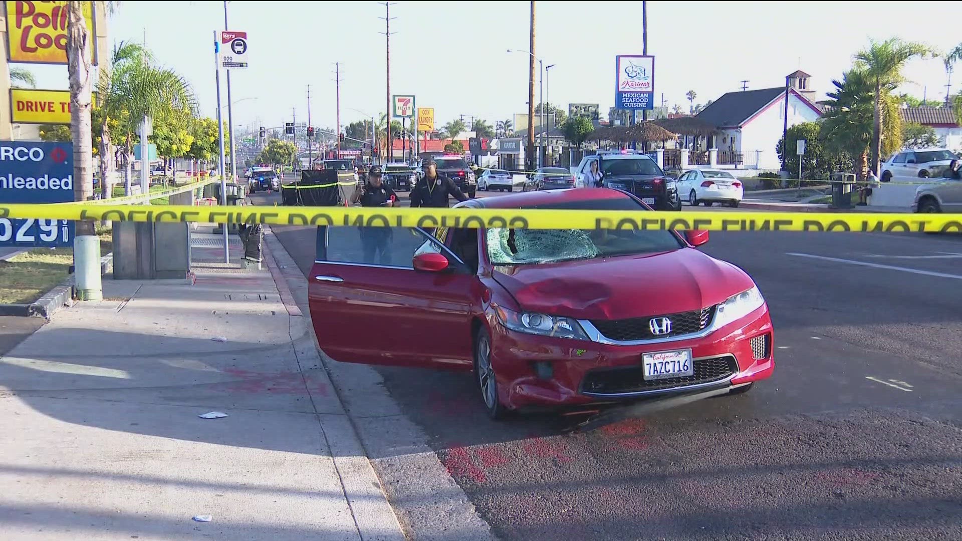
“In the San Diego region there are 250 traffic fatalities every year about a third of those include pedestrians," said Meier.
Some San Diegans say they find the new tool helpful.
“I would definitely recommend it so that basically we can get safer streets," added McAden.
Anyone in San Diego County can use this online tool, that includes all 18 cities in the county and even the unincorporated areas. SANDAG hopes to use the data and reveal their new plan in June of next year.
WATCH RELATED: SANDAG wants public input on the most dangerous roads and intersections