
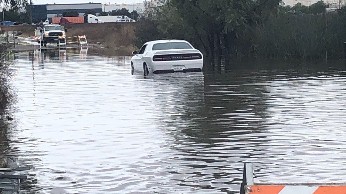
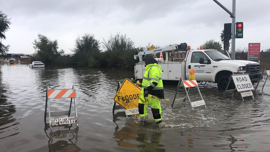
SAN DIEGO — The first autumn storm to hit the San Diego area kept the region wet and blustery Wednesday for the second consecutive day, bringing more rainfall across the county along with some dustings of mountain snow.
By late afternoon, the bands of dark clouds moving over the region had dumped as much as four inches of moisture in at least one community -- Valley Center -- while giving San Diego International Airport a comparatively paltry dousing of just over a quarter-inch, according to the National Weather Service.
As of shortly before nightfall, the storm had covered parts of the East County highlands with blankets of frozen white flakes, dropping about two inches of snow on Palomar Mountain and an inch or so on Mount Laguna, the weather service reported.
Local 24-hour precipitation totals at 4 p.m. included 2.33 inches in Julian, 2.07 at Lake Cuyamaca, 1.77 in Alpine, 1.73 in Campo, 1.37 in Vista, 1.2 in Escondido, 1.18 in Lemon Grove, 1.14 in Fallbrook, 0.93 in La Mesa, 0.92 at Oceanside Harbor, 0.82 at Brown Field airport, 0.78 in El Cajon, 0.77 in Poway, 0.67 in San Marcos, 0.64 in Ocotillo Wells, 0.55 in Chula Vista, 0.52 in Santee, 0.46 in Miramar, 0.32 in National City, 0.27 at Lindbergh Field, 0.17 in Serra Mesa and 0.07 in Encinitas.
A flash-flood watch was scheduled to remain in effect until late tonight in the inland valleys and the mountains.
Periods of showers were expected to continue tonight and dwindle over the day Thursday the storm departs the area, according to meteorologists. Dry weather will return Friday and prevail through the weekend, accompanied by warming temperatures.
Toward the start or middle of next week, cool, breezy conditions will develop locally, with more precipitation and colder temperatures possible Wednesday and into the Thanksgiving weekend, forecasters advised.
The San Diego County Department of Environmental Health issued a General Rain Advisory to avoid water contact at all coastal beaches and bays due to recent rainfall. Swimmers, surfers, and other water users are warned that rain brings urban runoff, which can cause bacteria levels to rise significantly in ocean and bay waters, especially near storm drains, creeks, rivers, and lagoon outlets. Water contact such as swimming, surfing and diving should be avoided during rain and for 72 hours following the rain event.
For updates on beach closure information click here.


Snow levels dropped to around 5,000 feet Wednesday and several inches of snow are expected by Thursday night.
A flash flood watch remains in effect until late Wednesday night in the inland valleys and the mountains.
Through Thursday night, the inland valleys are expected to get between 1 and 1.5 inches, while the mountains could get up to 2.75 inches, coastal areas were expected to get about an inch and the deserts were expected to get about a quarter-inch.
High temperatures Wednesday are expected to reach 61 degrees near the coast and inland, 59 in the western valleys, 55 near the foothills, 49 in the mountains and 67 in the deserts.
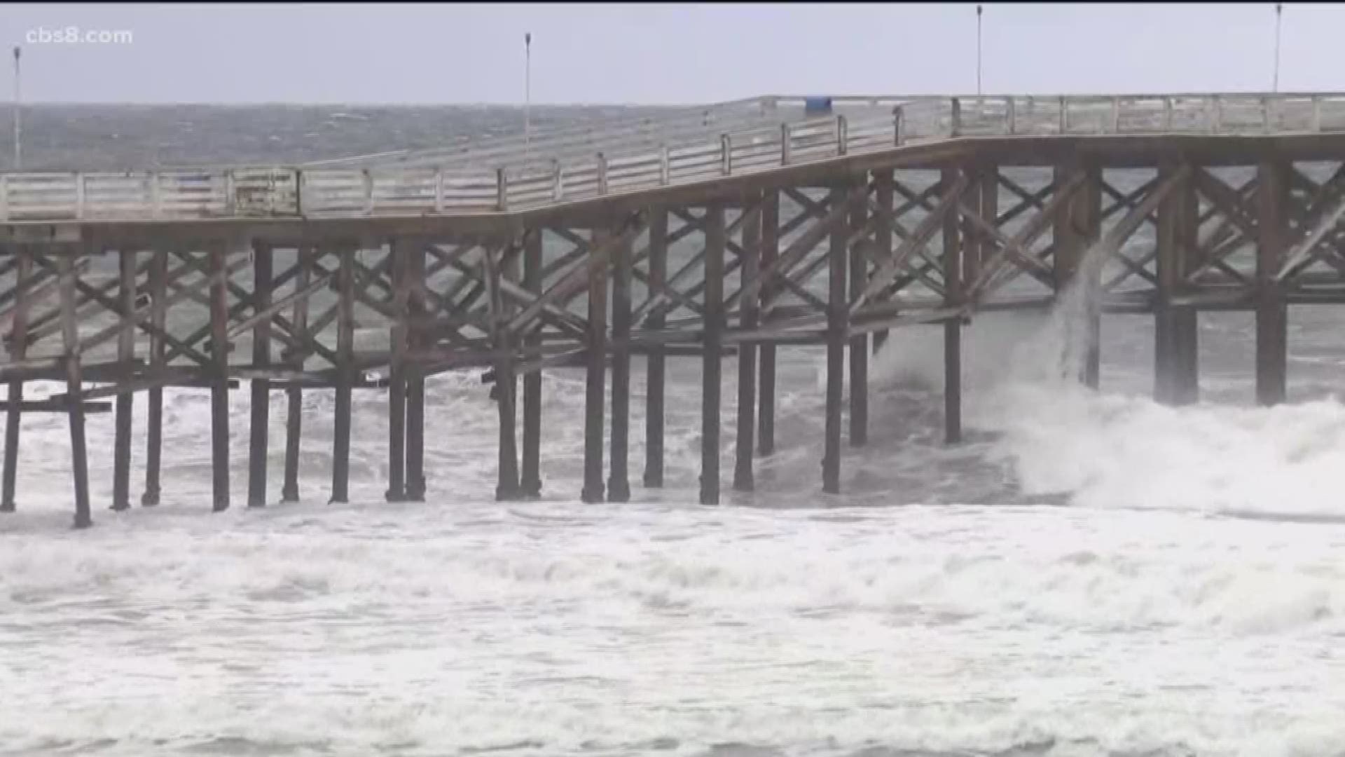
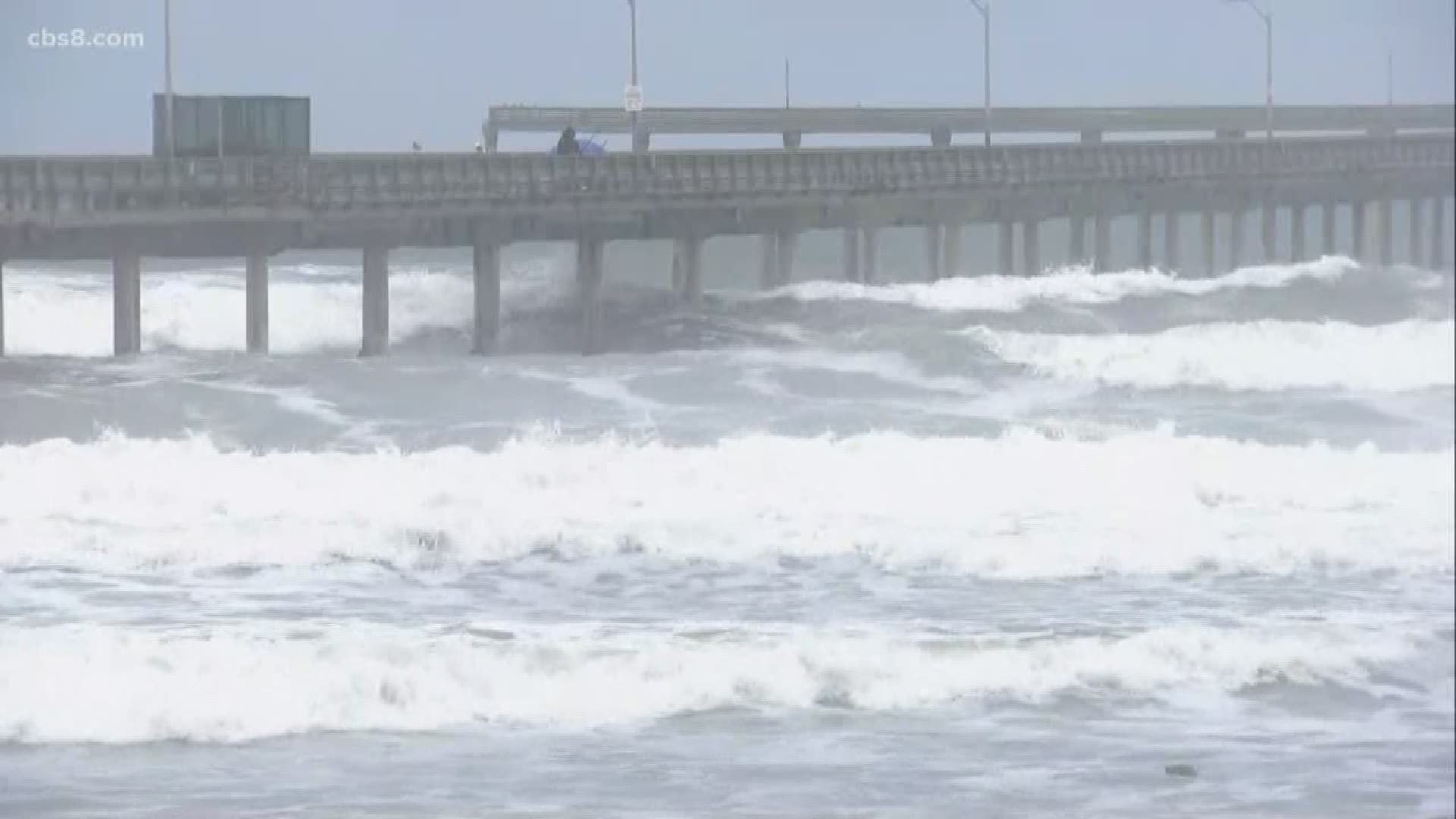
Strong rip currents and waves between 3-7 feet are expected at the beaches through noon Thursday.
Light showers could continue through Friday morning, then dry and mostly sunny conditions are expected this weekend, forecasters said.

