
SAN DIEGO COUNTY, Calif. — Southern California entered the 10th and possibly final day of a prolonged heat wave Friday, as Tropical Storm Kay changed the forecast from hot to wet, bringing fears of flooding across the region and possible damage from powerful winds.
A flood watch will be in place through Saturday evening in San Diego County mountains, deserts
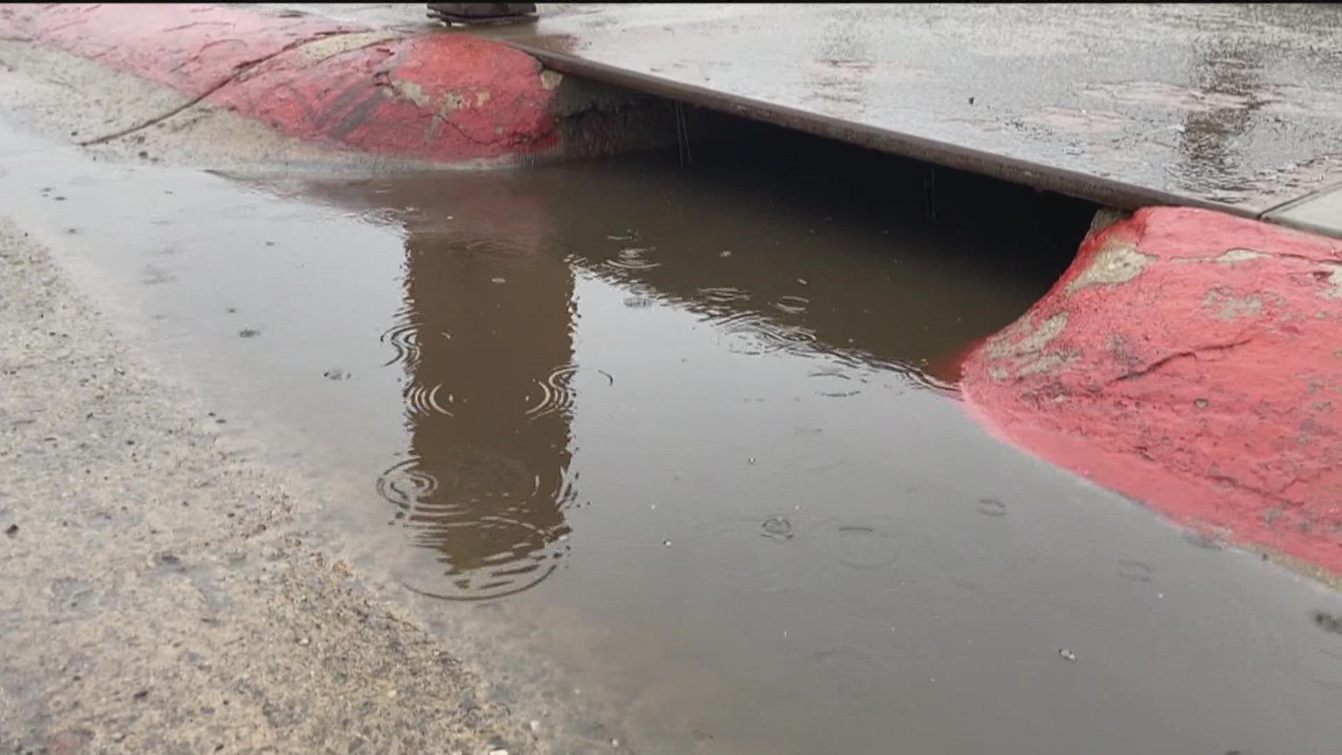
"Moisture associated with Tropical Storm Kay will bring periods of rain and thunderstorms to the mountains and deserts," according to the National Weather Service. "The heaviest rain will likely be this afternoon and tonight along the east slopes of the mountains and adjacent deserts. Rainfall will be 2 to 4 inches with local amounts to 8 inches on the east mountain slopes."
Forecasters said valley areas could get as much as 1 to 3 inches of rain, "with highest amounts near the foothills of the mountains."
Interactive Radar Map | Follow the rain as it moves into San Diego County
Kay had been categorized as a hurricane, but it weakened as it made landfall Thursday night, then began shifting to the northwest over the ocean. But Kay was still packing a punch, promising to bring widespread rain across the region.
While rain and flooding was considered a major threat from Kay, the storm is also bringing strong, gusty winds. Forecasters said gusts topping 109 mph were already clocked at Cuyamaca Peak, while more coastal areas such as Carlsbad and Imperial Beach were seeing gusts in the 30 mph range. The winds were only expected to increase throughout the day.
"Warm, windy and humid today with rain bands and embedded thunderstorms moving into Southern California from northern Baja California Mexico," according to the NWS. "Very strong and gusty east winds will impact the area today with widespread wind damage possible especially in the mountains. Heavy rain with the potential of flash flooding is most likely over the mountains and deserts of San Diego and Riverside Counties."
In the meantime, high heat will persist Friday, bringing with it concerns about strain on the statewide power grid. The California Independent System Operator, which manages the grid, issued another Flex Alert for 4 to 9 p.m. Friday, urging residents to cut back their power use to avoid strain on the system and possible rolling blackouts.
The alerts have been in place nightly throughout the heat wave, and thus far they have worked -- with Cal-ISO avoiding any calls for rolling power outages.
During the Flex Alert, residents are asked to save power by:
-- setting thermostats to 78 degrees or higher;
-- avoiding use of major appliances;
-- turning off unnecessary lights; and
-- avoid charging electric vehicles.
Residents were also advised to pre-cool their homes as much as possible and close blinds and drapes to keep interiors cool.
The power grid has been pushed to the limit during the heat wave. Late Tuesday afternoon, statewide electricity demand reached 52,061 megawatts, breaking the record of 50,270 MW set in 2006, according to Cal-ISO.
Southern California has seen temperatures soar above 100 degrees every day since Aug. 31.
In San Diego, a minimum temperature of 75 on Thursday night tied a record set in 1984. A minimum temperature of 72 in Oceanside Harbor tied a record set in 2014. A minimum temperature of 70 in Vista tied a record set in 2014. A minimum temperature of 72 in Chula Vista broke a record of 71 set in 2020.
The National Weather Service extended an excessive heat warning until 8 p.m. Friday.
Health officials advised residents to stay indoors with air conditioning whenever possible, drink plenty of fluids and avoid hiking or other strenuous activity in extreme heat.
Children and pets should never be left in unattended vehicles for even one minute.
How to prepare for power outages
Utility officials also recommend you follow these suggestions to help you prepare for blackouts.
- When it comes to food, make your own ice ahead of time, freeze containers of water to keep food cold while your power is off.
- Before the outage begins, try to grab what you need from the refrigerator and limit opening its doors. Food can be kept cold for up to four hours in refrigerators and up to 48 hours in freezers.
- Make sure to turn off unplug electrical appliances or any equipment.
- Keep flashlights in reach, but avoid candles as they can cause fires.
- Most importantly stock up on food supplies for you and your pet.
- Residents are also advised to pre-cool their homes as much as possible and close blinds and drapes to keep interiors cool.
After a power outage
Officials also recommend that you throw away any food that has developed an unusual odor.
You should also restock your emergency kit with fresh batteries, canned foods and other supplies.
Southern California has seen temperatures soar above 100 degrees every day since last Wednesday, with little relief in sight until at least Friday.
Overnight lows are not offering much relief either, staying in the 70s and even in the low 80s in some of the hotter areas.
The National Weather Service extended the excessive heat warning that has been in effect all weekend, which is now set to expire at 8 p.m. Friday.
"Strong high pressure to the north will continue the heat wave through Thursday for inland areas, with the heat continuing through Friday for the coast and valleys," according to the NWS. "For next weekend, a weakening tropical system will bring increasing moisture, breezy conditions, and a chance of more widespread showers and isolated thunderstorms. Showers and higher humidity will linger through early next week."
Health officials advise residents to stay indoors with air conditioning whenever possible, drink plenty of fluids and avoid hiking or other strenuous activity in extreme heat.
Children and pets should never be left in unattended vehicles for even one minute.